Interactive map
The Blood of Dawnwalker Map
Vale Sangora is a Carpathian valley the mountains close off, divided into regions each held by a senior vampire, and harder the further south you go. Pick any location below to see what sits inside it, what it connects to, and whether you can reach it by day, by night, or only one of the two.
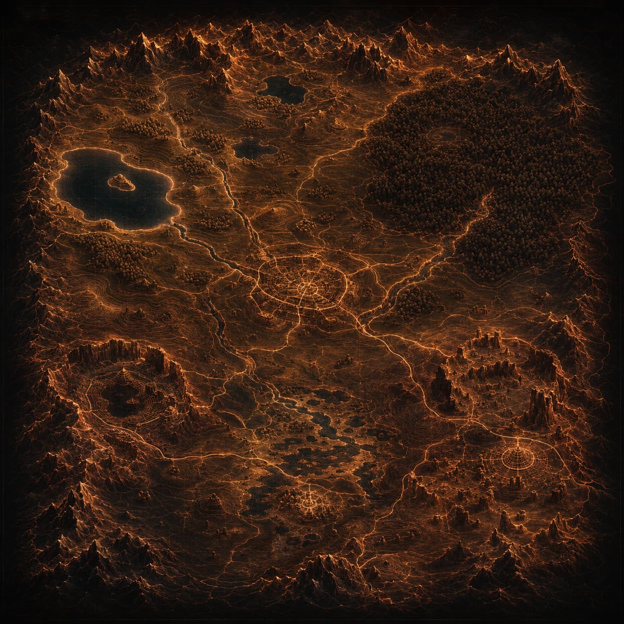
South is harderRebel Wolves has said that in general, the further south you go, the greater the challenge — so north stays up on any map we draw, and orientation is not something to change for looks.
Region
Vale Sangora
Contains the whole mapOfficial
The game's open world: a Carpathian valley of forest, swamp, mountain, mine and ruin, divided into regions held by Brencis's inner circle.
Where it sits
- inside The Carpathian Mountains
Terrain
- By day
- Traversable as human Coen. Settlements are populated and merchants trade.
- By night
- Traversable as vampire Coen, with wall climbing, Shadowstep repositioning and wolf-form movement opening routes closed by day.
What is still unknown
Held open deliberately. Each line comes off this list when it can be verified against the retail map — not before.
Where the major locations actually sit
The world's orientation
Regions and their rulers
Roads, bridges, passes and fast-travel points
Rivers, lakes and their names
Scale
How the world map works
The whole map is visible from the start
Terrain is not fogged. What you have to discover is the activities on it — entering an area may tell you something is nearby without telling you what.
Regions are held by senior vampires
The valley is divided into regions, each controlled by a member of Brencis's inner circle. No public source gives the full list of regions or their rulers.
Difficulty locks on first entry
Each region has a difficulty range, fixed the first time you enter it. Which means the order you explore in is itself a decision.
South is harder
Rebel Wolves has said that in general, the further south you go, the harder the challenge. It is one of the only authoritative directional facts available.
Fast travel exists — Coen does not have a horse
Travel is on foot, by vampiric movement, or by fast travel through the world map. Whether fast travel costs time is unconfirmed.
Why there are no pins
An official Vale Sangora map exists — a 33 × 40 cm printed map ships with the Day 1 and Collector's editions. But no flat, high-resolution copy is public: the promotional photography shows it folded, angled and partly behind packaging, nowhere near good enough to read labels from or reconstruct coordinates out of.
So no location here has coordinates, and none gets a pin. That is a decision rather than a gap. A plausible-looking marker reads as knowledge, and somebody would plan a route around it. What public material genuinely establishes is containment and relative position — inside, beneath, deep within, closest to — which is exactly what the browser above shows.
What changes once positions are verified
Positions get normalised 0–1 coordinates from a verified reference, each carrying its own provenance, and the same records start rendering as markers. The base layer will be our own cartography rather than a scan of the printed map — distinctive, and not dependent on somebody else's copyright.
Traversal changes the map, not just the mood
If a place can only be reached by climbing a wall, it is a night location whatever the quest log says — and any route including it competes only for night units. Access is a scheduling constraint before it is a navigation one, which is why every location records day and night access separately.
In the world